The Multi-benefit Value of Stormwater Management Infrastructure
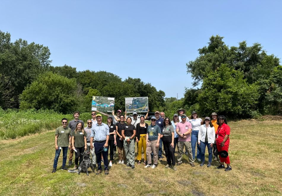
This tour took place on July 26, 2024 as part of an ongoing series of site visits in collaboration with the Calumet Stormwater Collaborative (CSC). This visit explained the efforts of the Wetlands Initiative and Partners to restore much of the West Branch floodplain basin to create diverse, functional habitats that support rare marsh birds and other wildlife, while also improving public access and recreational opportunities at this important local resource.
The Calumet Stormwater Collaborative is working to make 2024 a year where members can join in-person events to engage directly with other members and organizations and visit ongoing stormwater management and nature-based solutions projects in the Little Calumet region. Our first site visit project was the Wetland Restoration on the west branch of the Little Calumet River in Gary, Indiana, developed by the Wetlands Initiative and its partners. This initiative shows the intersection of stormwater management infrastructure and wetland restoration, highlighting the benefits these projects bring to communities and ecosystems alike.
This field trip included three stops along the West Branch, examining various stages of infrastructure and restoration in progress, from future improvements at Hatcher Park to the Army Corps levees and recent restoration at Chase Street. Each site highlighted an aspect of what makes this urban wetland restoration powerful: Community and Accessibility, Restoration, and Community. The following is a summary of this field trip.
Site 1: The Levees on Chase Street (The Bathtub)
The tour began at the Levees on Chase Street in Gary, a site also known as the “bathtub”. This 2,000-acre area, adjacent to the Calumet River, has a floodway next to it. The construction of the levees started after World War II, but the infrastructure was never completed, leading to significant flooding issues. In 2008, a 300-year flood event inundated the area, including I-94, which was closed for days. This disaster prompted the creation of the Little Calumet River Basin Development Commission, and brought up partners such as the Great Lakes, Wetlands Initiative, Lake County Park, Nature Conservancy Indiana, and the power line company, to address these issues collaboratively.
The Basin Commission is working to improve connectivity between the Chase Street complex and the floodplain and river. Most current connectivity is achieved through culverts, but efforts are underway to enhance these connections. The first section of the restoration has been initiated, with native seeding planned to follow.

Community and Accessibility:
The levees, aside from their flood control function, serve as valuable trails for local residents, making the restoration accessible to the community. Community engagement has been crucial throughout this process, aligning the project with environmental justice principles and ensuring it benefits the local population. This project showcases the multifaceted value of stormwater infrastructure, combining flood control, habitat restoration, and recreational opportunities. However, maintenance remains a challenge. Fortunately, Lake County Parks and Recreation is involved in long-term planning, which includes flood control and enhancing recreation and habitat in the Little Calumet flood control corridor.
Site 2: Restoration Area (Yellow-Headed Blackbird Habitat)
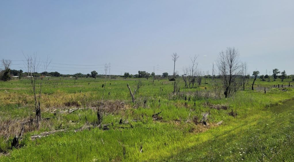
Restoration Process: The second stop highlighted an area once frequented by yellow-headed blackbirds, on the day of this visit a sandhill-crane was the protagonist making at appearance as we arrived. The restoration efforts began in 2021 with the first burn. The area is currently managed to control invasive species and stabilize local wildlife populations. Monitoring practices include the use of audio playback protocols during spring to track local species, with 50 sites monitored for population changes.

A water control structure, two feet high, helps manage water levels, connecting with the Little Calumet River. This infrastructure is designed to retain water on the site for longer periods, mimicking natural wetland conditions. Controlling water levels is crucial for successful wetland restoration, allowing native plants to establish and thrive. The restoration area has seen an increase in managed and monitored sites, contributing to the stabilization and growth of local wildlife populations.
Site 3: Hatcher Park
Hatcher Park represents the largest river remediation plan in the region, aiming to restore the river’s natural flow. The engineering process incorporates historical river paths to inform the design, ensuring the restoration aligns with natural landscapes. The project aims to deliver a 60% design feasibility, with plans to create a refuge island for nature. Plans include connecting the park to surrounding areas via trail systems and bridges, enhancing accessibility and creating a direct community asset that can become a source of pride.

Community Involvement: Community engagement has been at the forefront of this initiative. Funding through NOAA has facilitated habitat restoration efforts, which include remaindering the river and creating trails. Recent community engagement events, like story circles and site tours, have allowed residents to share their memories and vision for the park, building on its historical significance. The project aims to have zero impact on flooding and to mimic natural wetland conditions, which can help reduce mosquito breeding areas. As the design progresses, further community engagement is planned to address these concerns and gather feedback.
Conclusion
The Wetland Restoration Project in Gary, Indiana, highlights the multiple benefits of stormwater management infrastructure. By combining engineering with community engagement and ecological principles, the project demonstrates how such initiatives can provide flood control, habitat restoration, and recreational opportunities. As these efforts continue, the collaboration between various stakeholders and the active involvement of the community will be crucial in achieving a resilient and vibrant wetland ecosystem in the Calumet region.
