
About the Project
The Chicago River System has evolved since the launch of the Our Great Rivers initiative. To determine if Chicago is reducing barriers to the good life and fostering shared prosperity for its residents and business all along the river system, this evaluation notes how the system and its surrounding communities have changed over time. Consistent with the project structure, the findings are organized into the themes of inviting, productive, and living.
About the Approach
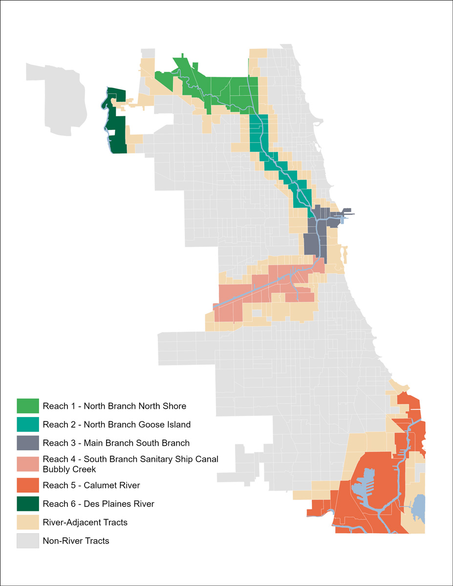
The Our Great Rivers project considers the Chicago River System as six distinct areas, or ‘reaches.’ The following analysis shares demographic, socioeconomic, community development, and ecological data and trends between approximately 2015 and 2025 to detail transformations along or near the river system.
In the Current
Want to get to know catalytic projects and leaders bringing the vision of Our Great Rivers to life in Reach 5? To learn more about the initiatives and people creating lasting benefits for local communities and the river system, explore two stories of transformation here: 100th Street and the Riverdale Community Land Trust.
A Glimpse Into Reach 5: the Calumet River

Where is this reach located?
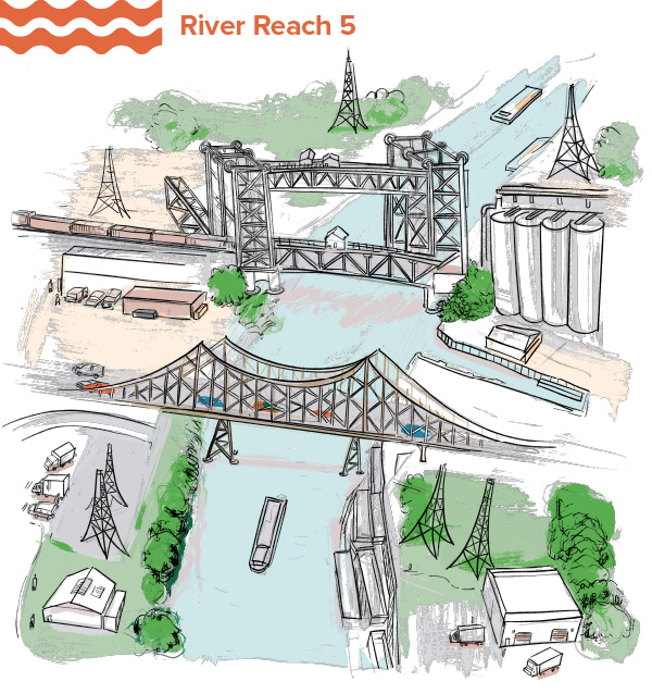
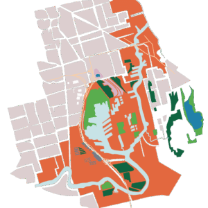
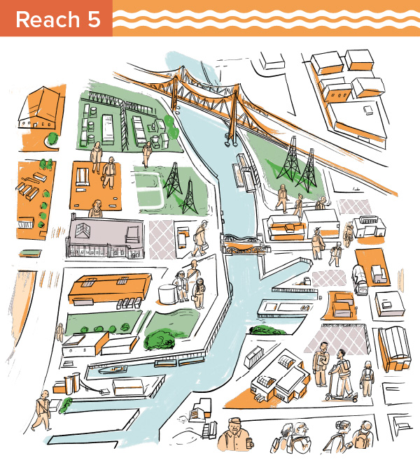
This reach includes the Calumet River, Lake Calumet, and Little Calumet River. It is bounded by Morgan Street to the west and Lake Michigan on the east, and set on the border of the City of Chicago with Riverdale. The overall length is 13 miles and it is home to the Illinois International Port District as well as many other industrial uses. It touches the community areas of West Pullman, Riverdale, South Deering, Hegewisch, East Side, Calumet Heights, and South Chicago.
What are the main characteristics of this reach?
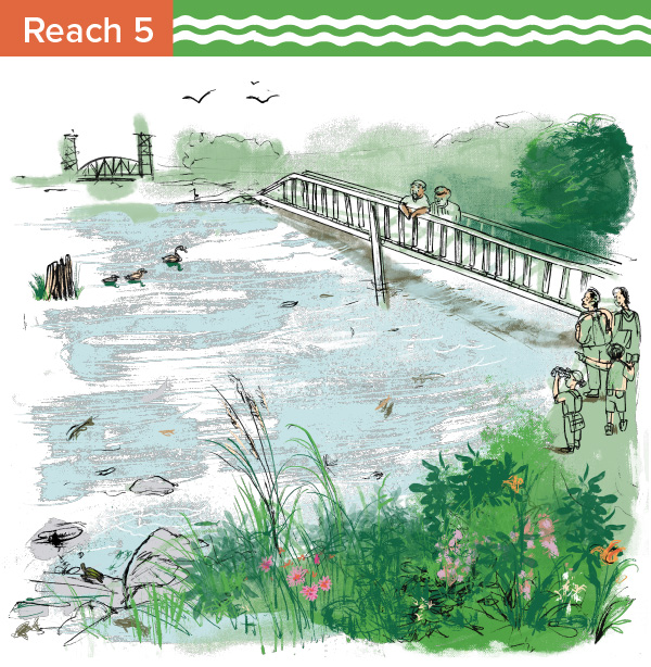
The Calumet River reach is characterized by its active industrial landscape, expansive waterways, and working port facilities. While industry continues to define much of the corridor, the reach also includes important natural areas, including Lake Calumet and the Little Calumet River, that support ongoing ecological restoration. Together, these landscapes connect the surrounding South Side communities to both the region’s economic activity and its environmental assets.
What’s rising to the surface in this reach?
The key findings and trends of this reach show a nuanced story about this reach – and our river system as a whole. The Calumet reach lost population and continues to face low household incomes, limited river access, scarce open space, and a high share of vacant land, even as jobs grew substantially, the value of commercial development increased, open space expanded, vacant parcels declined, and combined sewer overflows have become rare. Taken together, these findings suggest that the Calumet River remains both an essential economic and ecological asset and a place where long-standing inequities persist. Continued investment should build on community-led planning, workforce development, and habitat restoration, while ensuring that new development expands access to the riverfront and open space, supports existing residents, and delivers lasting environmental and economic benefits to surrounding communities.
MPC developed data points to characterize changes along Chicago’s River System between approximately 2015-2025. This page gives a general overview of the ways the area surrounding this reach has, or has not, transformed. For more in-depth data, further analysis, and the sources used for this research, view the complete data sets at the link below.



2014-2022
Demographics

Socioeconomics
The Calumet Reach as the lowest median household income, rent, and home value across Chicago’s river reaches, and these indicators increased at a lower rate than citywide in Chicago. Household incomes and costs are generally consistent between the river tracts and river adjacent tracts, indicating these are likely neighborhood trends and not directly related to proximity to the river.
Inviting Rivers Data
How has the area become more, or less, inviting?

Land Use
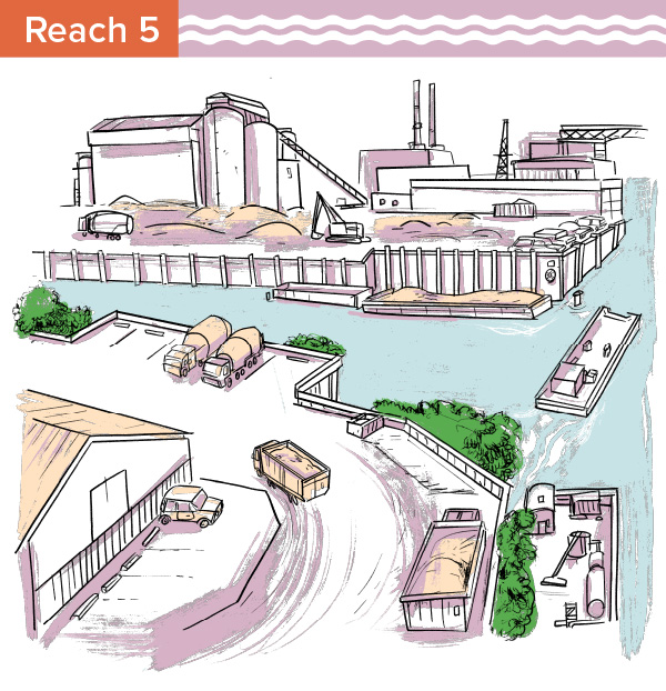
Transportation and industrial land uses make up the greatest share of land along the river in the Calumet reach (25% and 19%, respectively). Transportation land uses include parking, maintenance yards, freight terminals, and commercial docks. Transportation uses decreased by about 150 acres between 2010 and 2020, while industrial uses increased by 140 acres. Right of way and utility uses also make up a notable share of land in this reach, which can include uses like rail, roadway, communications infrastructure, waste management, and utility companies. Residential and commercial uses make up a very small portion of land near the river compared to adjacent tracts and other river reaches. The share of open space is also relatively small, at 5% in this reach, but it increased between 2010 and 2020 by nearly 350 acres.
Physical Improvements and Access Points
Productive Rivers Data
How has the reach become more, or less, productive?

Office, Industrial, and Multifamily Development
Of Chicago’s river reaches, the Calumet reach has the lowest average sale price ($33.50) and rental cost ($9) per square foot for office, industrial, and multifamily property within two blocks of the river of all the reaches. The average sale price and rental cost both increased over the last decade, by about 20% and 50%, respectively.
Vacancy
The rate of vacant parcels, meaning lots without development, has remained steady relative to the number of parcels in this large reach. The number of vacant parcels has decreased by 49 units, one of the greatest decrease in number of vacant parcels across all river reaches. However, the overall vacancy sits at the highest rate of all reaches at 15%.
Jobs and Businesses
Living Rivers Data
How has this reach become more, or less, living?

Water Quality
Open Space
Explore the research on other reaches in the Chicago River System below.
Visit river reach pages:
View the complete data sets for each of the river reaches:



Learn more about Our Great Rivers and this Understanding Our Rivers evaluation project.
Methodology
Research Approach
This project examined how areas (census tracts) along the river changed over time, from approximately 2015 to 2025. Data related to demographic, socioeconomic, development, and ecological changes, were compiled to understand how areas along the river transformed over the decade. Trends/variables included:
- Population changes by racial and ethnic group
- Rent and home value changes
- Job, business, and vacancy rate changes
- Land uses
- Trails and access points
- Community projects and activations
- Fish diversity
In addition to breaking down the river geography at the citywide and “reach”-level scale, we examined data by census tracts based on their proximity to the river:
- River tracts: Census tracts that touch a river in the city of Chicago
- River adjacent tracts: Tracts that touch the “river tracts.” Data in these tracts act as a proxy to the nearby neighborhood in order to differentiate general neighborhood trends from findings that are unique to tracts that directly abut the river.
Research Questions
For each data area, we asked the following questions, which allow for a nuanced look at how river areas have developed, when compared to other parts of the city:
- How do trends/changes compare across specific river areas (aka “reaches”)?
- How do trends/changes along the river (aka “river tracts”) compare to changes in areas immediately adjacent to river census tracts (aka “river adjacent tracts”, which are the comparison groups)?
- How do trends/changes along the river compare to changes across the city as a whole (all city census tracts)?
Sources
All sources for this research are listed on the Data Set Factsheets available on each reach page.
Authors
This evaluation project was produced by the MPC staff listed below. It was also developed and supported by Christina Harris, Alec Singer, and Kate Mackie.


